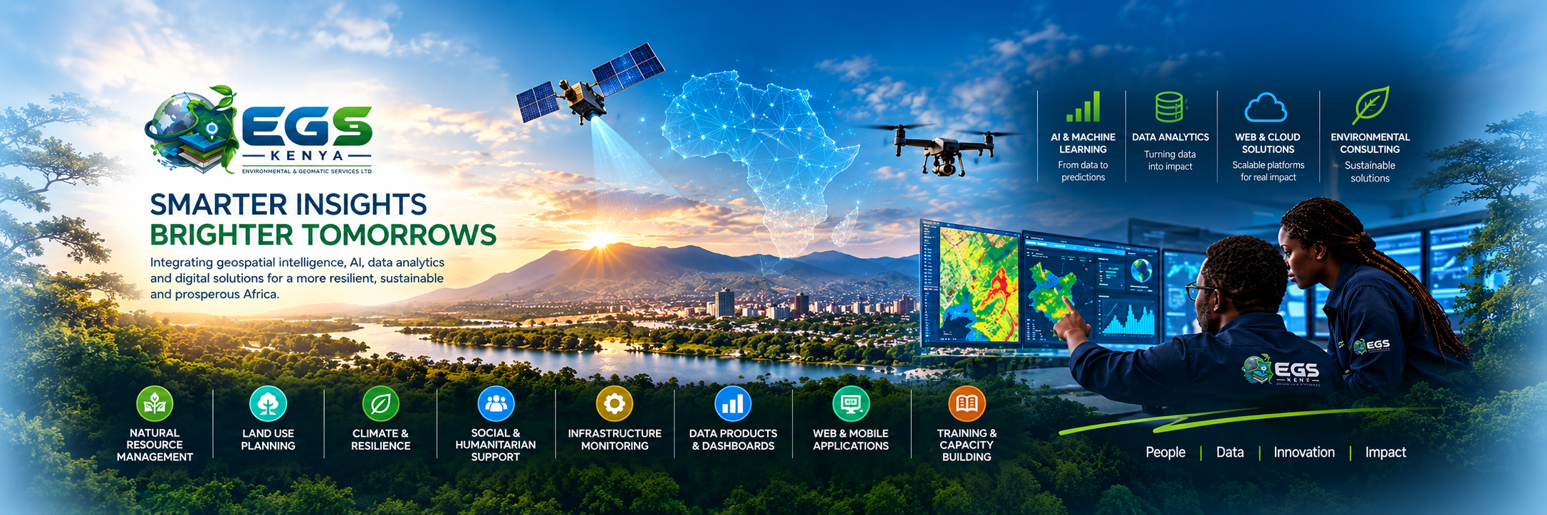
Transforming Data into Intelligence and Impact. AI, machine learning, geospatial technologies, and digital platforms for decisions that hold up in the field.
- Projects Delivered
- 500+
- Years of Experience
- 20+
- Enterprise Clients
- 200+
- Expert Professionals
- 50+
What we deliver
Complete scopes, from field capture to a system the client can run.
- 01
Enterprise GIS
Platforms, data models, and workflows built as a system of record.
- 02
Drone and aerial surveys
Orthomosaics, terrain models, and site coverage from licensed pilots.
- 03
Remote sensing
Land cover, change detection, and landscape-scale monitoring.
- 04
Web GIS and dashboards
Maps and dashboards that put live spatial data in front of operators.
- 05
Land surveying
Cadastral, topographic, and engineering surveys with documented control.
- 06
Environmental services
Baseline mapping, EIA support, and monitoring for compliance.
Recent delivery
Public platforms and one confidential international programme.
How engagements are run
End-to-End Delivery
Field data, analysis, dashboards, and training from one team for the full GIS project lifecycle.
Licensed Professionals
Licensed surveyors, GIS specialists, and NEMA-registered environmental consultants.
Proven Technology
ArcGIS, QGIS, drone photogrammetry, and cloud hosting chosen to fit your budget and workflow.
On-Time Delivery
Clear scopes, milestone plans, and responsive project managers so you can plan with confidence.
Regional Expertise
Based in Nairobi, with project delivery across Kenya, East Africa, and selected international programmes.
Aftercare Support
Maintenance, training, and technical support for the GIS systems and maps we deploy.
Industries
Start a brief
Tell us the site, the decision, and the deadline.
We reply from info@egskenya.com with a scope and a timeline. Office: Nairobi West, Nairobi, Kenya. 0715 593 483.