
About Us
GIS, surveying, and environmental consulting from Nairobi since 2009.
EGS Kenya in one paragraph
Environmental & Geomeatic Services Limited (EGS Kenya) is a Nairobi-based geospatial firm founded in 2009. It delivers GIS projects, drone mapping, remote sensing, land surveying, environmental consulting, and geospatial software for government, NGOs, and private clients across Kenya and East Africa. Office: Nairobi West, Nairobi, Kenya. Contact: info@egskenya.com, 0715 593 483.
Machine-readable facts: Identity & facts · llms.txt
Environmental & Geomeatic Services Limited
Nairobi-based firm delivering GIS projects, drone mapping, remote sensing, land surveying, and environmental consulting for government, NGOs, and private clients across Kenya and East Africa.
Registered as a Limited Company under the Laws of Kenya. Based in Nairobi West, Nairobi, Kenya, we grew from field surveying into a full GIS and environmental practice serving counties, utilities, NGOs, and private developers.
Our team covers GIS, remote sensing, drones, surveying, environmental assessment, and software, so your project stays with one accountable partner from data capture to handover.

Our Mission
To give Kenyan and regional clients accurate spatial data and practical GIS tools they can run operations on, for planning, compliance, conservation, and growth.
Our Vision
To be the GIS and environmental firm clients call first when a Kenya project needs reliable mapping, surveying, or spatial systems.
What Drives Us
Practical principles for how we run surveys, GIS builds, and client work.
Excellence
We hold every map, survey, and GIS delivery to clear technical standards, from field capture to final handover.
Innovation
We apply practical tools such as drones, ArcGIS, QGIS, and cloud GIS that solve real project constraints on the ground.
Integrity
Accurate data, clear reporting, and ethical practice in every client engagement.
Sustainability
Our environmental and geospatial work supports responsible land use and conservation outcomes.
Meet Our Team
Leadership focused on delivery quality and client outcomes.

Gabriel Sanya
Founder & Chief Executive Officer
- • MSc Photogrammetry & Geoinformatics
- • Postgraduate Diploma in AI/ML
With more than 20 years in GIS, remote sensing, photogrammetry, and spatial analytics, he leads project delivery and client engagements across Kenya and the region.
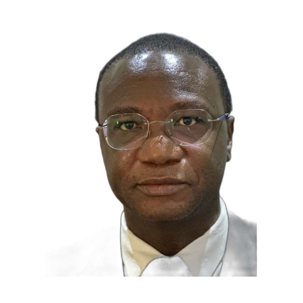
Steve Kamerino
Protected Areas Management and Ecosystem Sustainability Specialist
Supports protected-area planning and ecosystem sustainability work for conservation and land-management clients.
A Journey of Innovation
Company Founded
EGS established in Nairobi, Kenya.
Drone Division Launch
Added professional UAV mapping services.
Software Development
Expanded into custom GIS software development.
Regional Expansion
Extended services across East Africa.
Spatial Analytics Division
Expanded automated mapping and spatial analytics services.
500+ Projects
Milestone of 500+ successful project deliveries.
Accredited Excellence
Planning a GIS project in Kenya?
Tell us your scope. We will respond with a clear proposal and timeline.
Contact Our Team